
Santa Ana Neighbors, Source by Source
A block lookup works best as a coverage map. Each source below answers a narrow question, and none is a complete list of the people who live nearby. The parcel and assessor layers are strongest for land and ownership. Civic pages explain community geography. Historical directories show only the names and years that a publisher recorded.
| Source | What It Shows About a Block | Access |
|---|---|---|
| Santa Ana GIS parcels | Parcel shapes, APNs, site fields, and adjacent polygons | Free map and REST layer |
| Orange County Assessor | Assessee or owner clue, situs, mailing, characteristics, and value | Linked property service or public counter |
| Qualified voter file | Registered voters and allowed fields within an approved geography | Statutory-purpose application, fee, and ID rules |
| Permits and code files | Projects, applicants, contractors, notices, inspections, and dates | City portal or focused records request |
| Neighborhood association pages | Public civic contact, map, meetings, watch or community email | Open city pages; no member roster |
| Criss-cross directories | Past address entries when a local volume supplied a name | History Room access |
| ZIP code | Postal area that may cover more than one community or jurisdiction | Address validation, not adjacency proof |
Owners, voters, permit parties, association contacts, and occupants are different roles. A Santa Ana neighbors search should label the role beside each name and keep the source date with it.
Click Every Adjacent Santa Ana Parcel
The reliable block method is spatial. Start at the target address in the Santa Ana GIS Assessor Parcels service, zoom until the polygons are distinct, and click the target to capture its APN. Then click each touching or nearby polygon and carry each APN into the assessor source. The flow is simple: address to target polygon, target APN to adjacent polygons, adjacent APNs to assessor records, then each record back to its source date.
- Normalize the street number, directional, suffix, and ZIP, then locate the target parcel.
- Confirm the target APN, site address, city and state field, legal-description clue, and parcel shape.
- Pan along both sides of the street and click every parcel that touches or sits within the chosen block area.
- Search each APN in the assessor source and note owner or mailing information without calling it occupancy.
- For a whole named street, move to the Santa Ana street directory rather than expanding an unbounded block query.
ArcGIS supports geometry and attribute queries, standardized SQL, distinct values, and paginated output. The public Assessor Parcels layer has a maximum 1,000-record response. The city’s Accela address and parcel service has a maximum 2,000 records, restricts its address layer to verified addresses as of July 22, 2025, and disables editing. Neither limit is a count of Santa Ana neighbors.
Corner Lots and Condos Distort Neighbor Counts
Numerical adjacency is not always physical adjacency. A corner parcel can face one street while its driveway or mailing address uses another. Alleys can separate the route a person walks from the parcel order shown on a map. A large site can contain several parcels, and a condominium project can place multiple legal interests inside one visible building. A vacant strip or access parcel can also sit between two homes.
Read the polygon before reading a name. Compare the boundary, street frontage, legal description, and APN. When a query returns a surprising “neighbor,” check whether it is a shared-access parcel, a rear lot, a common area, or a separate unit interest. Keep the map result as geography and the assessor result as a property clue.
This is also where Santa Ana’s older street patterns matter. French Park’s triangular pattern reflects the 1877-1878 Santa Ana East railroad plat rather than a perfect grid. The documented 1912 Fairview Avenue to present-day McFadden Avenue change is a reminder to bridge old labels with cross streets, lot and block language, permits, and parcel lineage.
Santa Ana Assessor Records Name Owners, Not Households
The Orange County Assessor property gateway can add an owner or assessee, situs and mailing clue, parcel characteristics, and values to a selected APN. Ownership is not proof of occupancy. The mailing address may point elsewhere, and renters or other household members ordinarily do not appear on a parcel card.
The Clerk-Recorder contact page below is an access point for the county records office, not a neighbor directory. Recorded deeds can show the parties to a transfer, while the recorder index is only discovery until a copy is ordered.
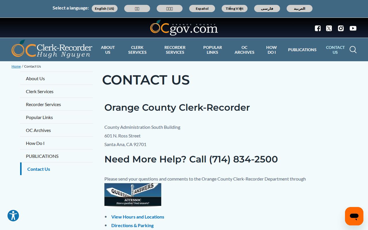
The contact image reinforces a useful division of labor: the GIS locates land, the assessor describes ownership, and the Clerk-Recorder holds recorded instruments. None of those offices confirms every person who stays at a nearby address.
Qualified Voter Data Has a Narrow Block Route
Orange County’s Your Voter Information lookup authenticates one voter. It asks for date of birth, the last four digits of a California driver license or ID, or the last four digits of a Social Security number when no state ID is available, plus the first three letters of the first name when prompted. It can show registration details, districts, elected officials, a sample ballot, and participation status, but it cannot browse Santa Ana neighbors by street.
A block-level product requires the Orange County voter-data request route. The voter-data product builder shows the available district, registration-date, and election-history choices. The application calls for a wet original signature, identity documentation for mail, payment, a permitted purpose, a chosen district or product, and delivery instructions. Commercial use is prohibited, and redisclosure limits still apply to a qualified recipient.
Participation history says whether a voter participated in an election. It never shows how a ballot was marked. Registration confirms the address supplied for electoral use at a point in time, not every household member or current physical occupancy.
The official voter-data information page shows the qualification and delivery steps behind a block-level request.
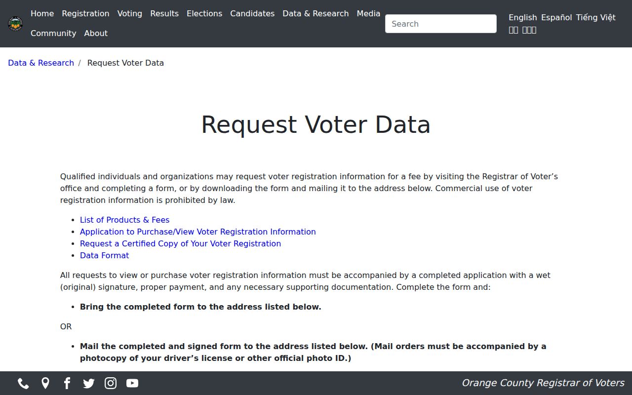
The voter-file screen illustrates a restricted access channel, not a public browse tool for Santa Ana neighbors.
Santa Ana Permits and Code Files Add Time
Planning and Building records can connect an address to a permit number, applicant, contractor, project description, valuation, issue date, and inspection milestone. Code Enforcement files can add an alleged condition, notice, inspection, compliance date, appeal, or responsible-party reference when the public portion is disclosable. These records make a block legible across time without pretending that a permit party is a resident.
The Santa Ana City Clerk records gateway includes a Laserfiche browse route, completed requests, and a new-request path. The city also identifies a public-record request route for focused submissions. If the needed permit or code file is not visible, identify the department, exact address or project number, record type, and date range in a California Public Records Act request. Active investigations, safety information, and personal data may be withheld or redacted.
The public city gateway is useful because a parcel can have a permit history even when the assessor record has no occupant clue.
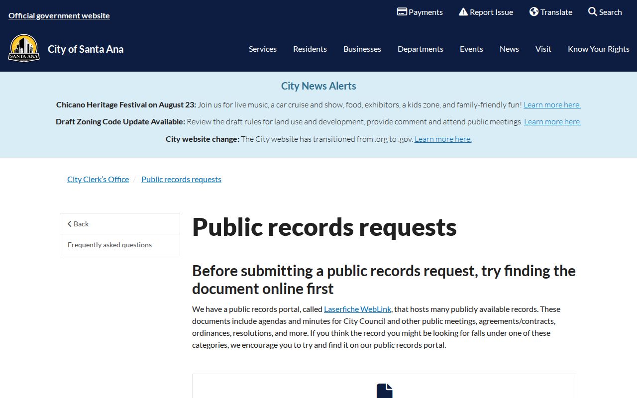
Read a city record as an address event. It may explain a remodel, inspection, or civic contact without identifying everyone who lived nearby.
Sixty-Four Santa Ana Associations Add Civic Geography
Santa Ana says its Neighborhood Initiatives team supports 64 neighborhood associations and community groups. Public pages can show a named boundary, contact route, meeting status, map, demographic context, neighborhood-watch link, or community-engagement email. They are valuable for understanding which community surrounds a parcel, especially when a ZIP code spans several neighborhoods.
| Public neighborhood example | Useful block context |
|---|---|
| Artesia Pilar | Named civic geography for a local block inquiry |
| Floral Park | Historic north-side context and public community contact |
| French Park | Distinct street pattern and older neighborhood history |
| Park Santiago | North-side neighborhood context for parcel orientation |
| Grand Sunrise | Concrete example of a public contact, watch, and map page |
The Santa Ana neighborhood initiatives page is the city-level entry point. A public association contact can help with a history question or meeting information. It does not authorize a request for private membership names or household details.
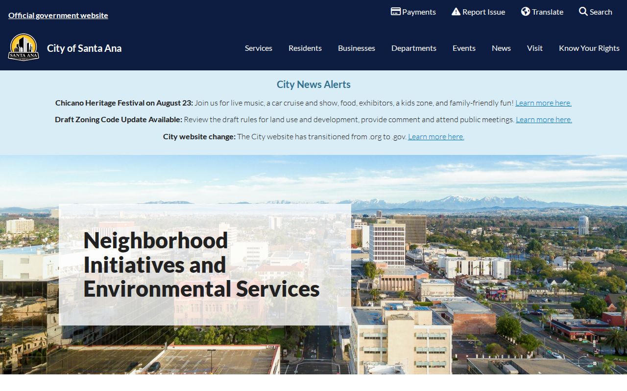
The neighborhood program adds a human geography layer to a parcel map. It can orient a block without turning community identity into a list of residents.
Grand Sunrise Shows a Public Contact Boundary
The city’s Grand Sunrise neighborhood page illustrates the level of public detail that a community page may provide: an association contact, watch or community email, meeting information, a map, and neighborhood context. That is enough to identify a civic doorway for a block question. It is not a directory of members, household composition, or private contact details.
Member privacy matters because a public association and a household are different structures. A person may live inside a boundary without joining the group. A volunteer may serve a broad area without living on the target block. Keep the page’s public role, date, and boundary separate from any parcel or voter clue.
The Grand Sunrise page gives a concrete example of respectful human-use research: use a public contact to ask about local history, neighborhood meetings, or a civic program, not to identify private neighbors who have not chosen to publish themselves.
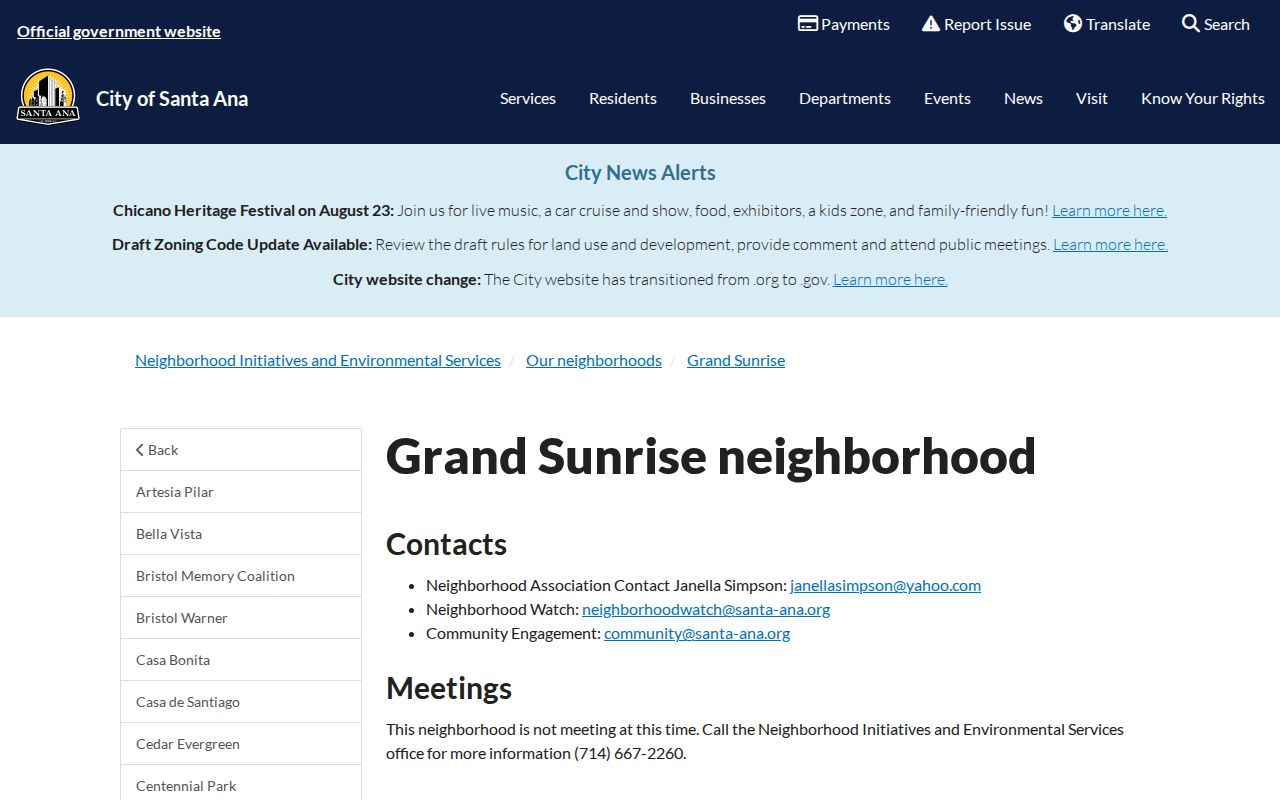
The image shows a community information layer. It should be read alongside parcel geography, not as a roster of the people around a home.
ZIP Lines and Safe at Home Leave Gaps
ZIP codes are useful for mail routing but weak for immediate adjacency. A ZIP can include several Santa Ana neighborhoods, cross a city boundary, or describe a PO-box service. The 92705 postal area is the clearest local example: a Santa Ana mailing label can cover land outside the municipal line. Confirm jurisdiction with GIS and keep the postal field separate from the situs address.
California’s Safe at Home program can provide eligible participants with a substitute mailing address, confidential mail forwarding, service-of-process agency, and confidential voter registration. A missing neighbor clue may be intentional. Government Code sections 6205-6216 support the program, and a legal description in a property record can still reveal a location even when the mailing trail is protected.
Do not reverse-engineer a protected address from a ZIP, parcel, association, or old directory. A privacy gap is a boundary to respect, not a puzzle to defeat.
Official Santa Ana Records vs Commercial Categories
Official records and commercial neighbor-search categories do not carry the same authority. The comparison below keeps the difference visible when a parcel result does not answer an occupancy question.
| Source type | Strength | Limit |
|---|---|---|
| GIS parcel layer | Shows physical polygons, APNs, and mapped fields | Does not identify occupants |
| Assessor or recorded deed | Shows ownership or recorded party roles with a custodian | Owner may be remote; index may need a paid copy |
| Qualified voter product | Can support an approved geographic data purpose | Restricted use, identity, signature, fee, and redisclosure rules |
| Commercial neighbor category | May combine many public and purchased data sources | Can merge same names, lag corrections, and lack source context |
Lawful use. Santa Ana neighbor research is appropriate for civic curiosity, reconnecting, local history, and personal safety awareness. Do not use a neighbor lookup to stalk, harass, intimidate, or expose a protected person.
A sound result may be “parcel identified, occupant unconfirmed.” That wording is more useful than a guessed household. Preserve the APN, source date, role, and boundary, then stop when the public evidence ends.