
Search Santa Ana Streets by Address
A Santa Ana street directory search should move from a known location to the custodian that can explain it. Ownership begins with the parcel map and assessor card. A deed connects an owner to an earlier grantor. A permit or code case adds an address timeline. A qualified voter file answers a narrow registration question, while a criss-cross volume supplies an older household clue. No source alone lists everyone along a street.
- Normalize the street number, directional, suffix, unit, and city, then open the Santa Ana GIS map or verified-address service.
- Click the parcel, record its APN, situs fields, mailing fields, and legal-description clues, and note adjacent parcels separately.
- Check the Orange County Assessor gateway or its public counter for the assessment record, owner or assessee, and mailing clue.
- Search the owner as a grantee in RecorderWorks, save the recording number, and order the deed when the indexed entry matters.
- Compare permits, code files, a qualified voter-data product, and the History Room's address-first directories without turning a clue into an occupancy claim.
Turn Santa Ana Address into an APN
The City of Santa Ana Assessor Parcels layer supports map browsing and REST queries. A practical search uses the map viewer's geocoder, zooms to the address, selects the parcel, and records the APN. The layer supplies site address and city/state fields, geometry, document references, legal-description clues, values, and ZIP-related fields. Its public service supports JSON, GeoJSON, and PBF responses, statistics, and advanced queries, with a maximum of 1,000 records.
The assessor gateway is a second step, not a substitute for the map. The county-linked ParcelQuest interface can expose assessment information, while the public counter at 500 S. Main Street, 2nd Floor, in Orange remains the fallback. Public owner-name behavior through the linked service was not verified without entering the third-party interface. Use the exact address or APN when possible, and write down whether each name came from the city layer, assessor record, or deed index.
| Field or control | Format | Address-search use |
|---|---|---|
| Property address | Text or geocoder | Normalize directionals and street suffixes; searches the situs location |
| APN or parcel number | Text | Best exact key once the map identifies the parcel |
| Owner or assessee name | Text, portal-dependent | Possible owner search through the linked county service; verify live |
| Map zoom and pan | Map controls | Browse a street and inspect nearby polygons |
| Identify or select parcel | Map tool | Opens the selected parcel attributes |
| Layer list | Checkbox panel | Switches among public parcel and address layers |
| Query, geometry, or where | REST parameters | Runs spatial or attribute queries; parcel results cap at 1,000 |
The newer Accela address and parcel service says its address layer contains verified addresses as of July 22, 2025 and disables editing. That makes it a useful validation layer for land-management work, but it still does not establish that a named owner occupies the site.
Browse Both Sides of Santa Ana Blocks
A street directory becomes more reliable when the target parcel is checked against physical neighbors. In the ArcGIS viewer, zoom until polygons show, click the target to verify the APN, then click each touching or nearby parcel. Pan along both sides of the street. Do not assume the next street number is the next parcel. Corner lots, alleys, condominiums, and multi-parcel sites can break numerical order.
The named buffer button was not verified, though geometry queries are supported. Ordinary click-and-pan is the practical method. A useful flow is address to map, map to APN, APN to assessor card, owner to deed, and deed to prior grantor. For a block question, keep each APN separate and never combine owners into a household list.
The Santa Ana Assessor Parcels feature service supplies the map and query reference. Its geometry is strong evidence of parcel placement, not evidence about who is inside a building.
Santa Ana Records Searchable by Street
Different custodians key records to the same address in different ways. The coverage table keeps street-by-street evidence in its lane. A street directory result may identify an owner, applicant, or old occupant without identifying every current resident.
| Record set | Keeper | What it can show | Access channel |
|---|---|---|---|
| Parcel GIS | City of Santa Ana | Parcel shape, APN, site fields, legal-description clues, ZIP fields | Free map, REST service, and query form |
| Assessment record | Orange County Assessor | Assessee or owner, situs and mailing clues, characteristics and value | County gateway, linked service, or public counter |
| Recorded deeds and liens | Orange County Clerk-Recorder | Grantor, grantee, dates, instrument and legal-description trail | Free index; paid copy by mail or counter |
| Building permits | Santa Ana Planning and Building | Applicant, contractor, project, work, dates, and valuation when available | City system, ProjectDox, counter, or request |
| Code cases | Santa Ana Code Enforcement | Address, case event, notices, inspections, and disclosable parties | Division page, records request, and redacted release |
| Voter data | Orange County Registrar of Voters | Qualified registration fields within an approved geography | Private self-lookup or statutory application |
| Criss-cross directory | Santa Ana History Room | Address-first historical entry where the edition supplies a name | Library research; incomplete household representation |
Santa Ana's public-record request route is a fallback for identifiable city records, not a way to compel a residents directory. Ask for a department, address or project number, record type, and date range. The California Public Records Act requires an agency response, while exemptions and redactions still apply.
Santa Ana RecorderWorks Deed Chain
RecorderWorks is most useful after the parcel and current owner are known. Search that owner as grantee to locate the acquisition, save the document number and recording date, and order the actual instrument. Read the grantor, legal description, vesting, and recording details. Then search the grantor as grantee in an earlier time window. Repeat only while the name, parcel, and date remain distinctive enough to control the same-name risk.
The online index starts January 4, 1982 and runs forward. Pre-1982 work shifts to microfiche at the Santa Ana office, with book, page, and instrument references useful for a copy request. Recorder staff do not conduct the search for a requester. The index has no deed images. Mail or counter copies cost $1 per page plus $1 certification per document or map. A self-addressed stamped envelope and payment to County of Orange belong with a mail request.
The Orange County grantor-grantee index shown here is a free finding aid.
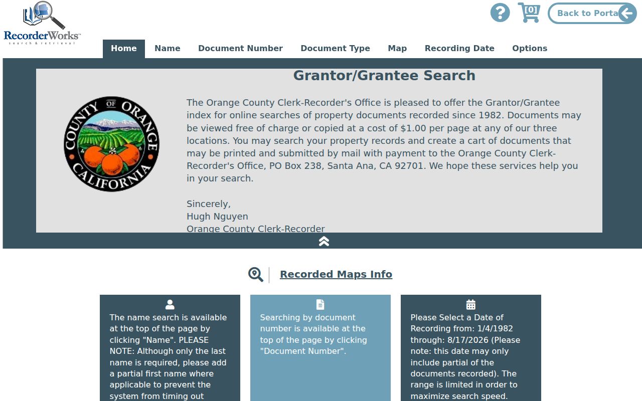
Use the entry to request the source instrument. The party role links the deed chain; it does not state that the party lived at the property.
Santa Ana Permits and Code Records
Permit records add a time line to a street search. Santa Ana Planning and Building materials can connect an address to an applicant, contractor, project description, issue date, inspection milestone, or valuation. The city permit and plan-check route points to the active process, ProjectDox, agency contacts, and the counter. Historical files may require a focused request rather than a web result.
The Santa Ana permits and plan check page below is the access point for the current land-management process.
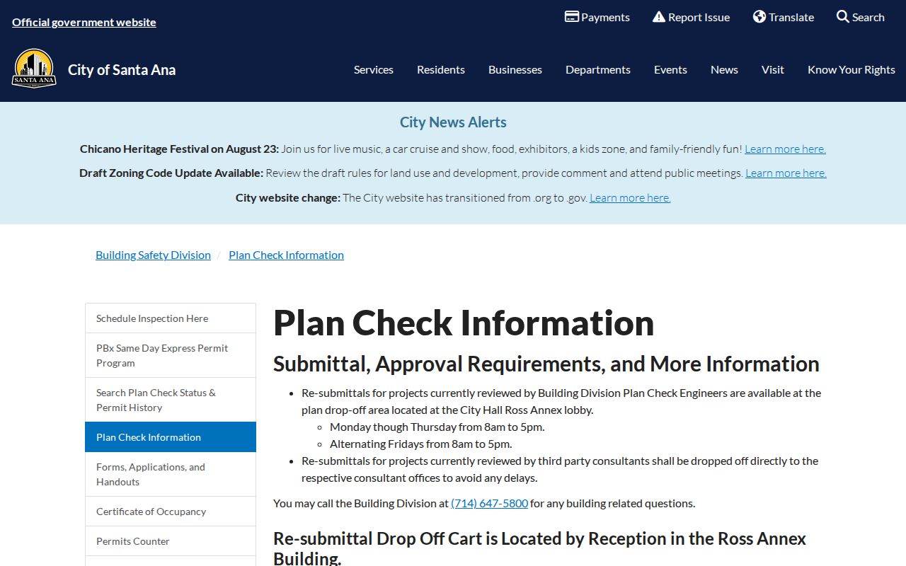
A permit names a project role. It does not confirm that an applicant, contractor, or owner occupied the site.
Code Enforcement records can add notices, inspections, compliance dates, appeals, and responsible-party references when disclosable. The Santa Ana Code Enforcement Division provides the records-request route, but open investigations, safety details, and personal information may be withheld or redacted.
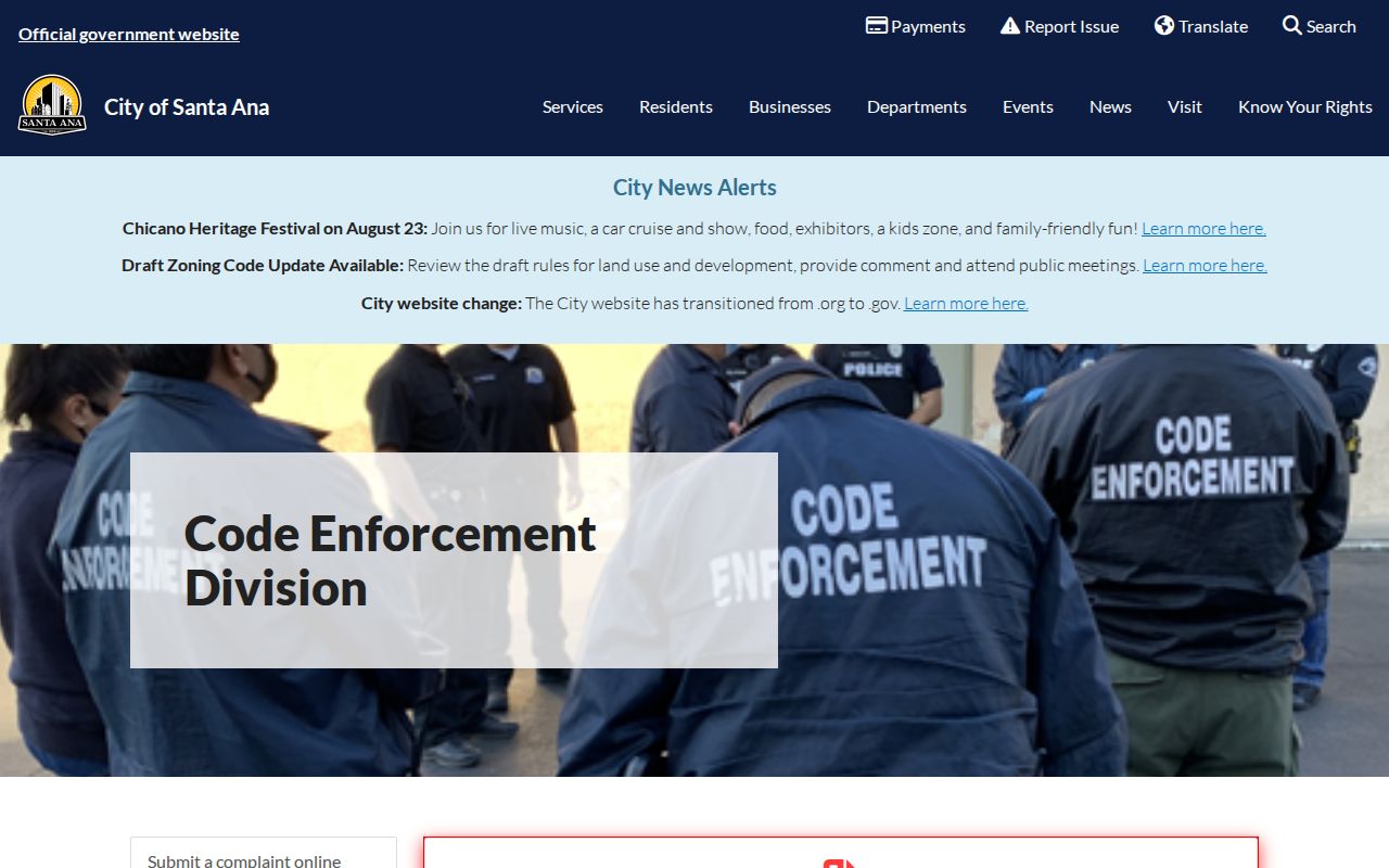
Read permits and code files as address events. Pair them with the parcel and deed chain, and keep a request response that says no record was found as a meaningful endpoint.
Santa Ana Tax Bills and Mailing Clues
The Orange County Treasurer-Tax Collector search can add tax-bill status and mailing information to an address review. Use the exact parcel clue when the portal allows it, and compare the result with the assessor card. A tax bill can show payment, delinquency, and correspondence address, but it is not a resident directory. Tax status does not prove occupancy at the situs.
The Orange County property-tax bill search is the online channel. A counter or custodian contact is the fallback when a tax question needs a record that the public view does not display.
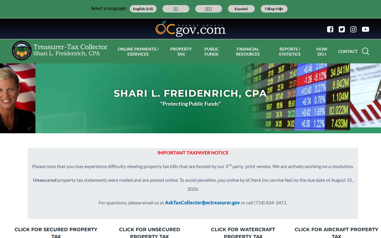
Keep tax-bill evidence in the mailing category. It can help reconcile an owner trail, but it cannot establish the people who share a parcel.
Criss-Cross Santa Ana Streets, 1980-1998
Santa Ana's address-first criss-cross run bridges current records and older household research. A local report verified volumes from 1980 through 1998. It also documented a hard limit: the subject address appeared without an occupant or owner name. That blank is useful evidence. Switch to deeds, permits, census material, newspapers, or probate.
Earlier directories used in local reports cover selected years from 1901 through 1962, with a 1949-1960 run for one house. The same report found a 1961-1979 gap and a later directory endpoint from 1999 through at least 2008. The Santa Ana Directory Book explains those editions and how to read their marks. A street search should borrow that shelf without pretending that every year or address has a named household.
Historic Santa Ana Street Names Need Maps
Street names and numbers change the way an old Santa Ana street directory reads. Library of Congress Sanborn holdings include January 1885, February 1891, and a 1906 volume updated through August 1949. Local project files also use later editions for particular sites. Sanborn sheets show building footprints, use, street names, and address geography. They do not name every resident.
A city historical record identifies 1912 Fairview Avenue as present-day McFadden Avenue, a name-continuity trap that must not be confused with today's Fairview Street. French Park's triangular pattern reflects the 1877-1878 Santa Ana East railroad plat rather than a perfect grid. No authoritative citywide renumbering year was located. Use cross streets, lot and block, APN lineage, legal descriptions, and permits instead of guessing from a modern street name.
Santa Ana Parcel and Plat Definitions
Address work gets easier when map terms stay precise. These definitions describe the links between a street directory, the parcel layer, and older deeds without suggesting that a land record is a people list.
- Parcel
- A mapped unit of land tied to an APN and assessment record. One building can sit on more than one parcel, and one parcel can contain more than one unit.
- Situs address
- The physical address of the assessed parcel. It is different from the mailing address used for correspondence.
- Plat
- A recorded map that lays out lots, blocks, streets, easements, or a subdivision. It can preserve the land relationship when a street label changes.
- Criss-cross directory
- An address-first directory organized around locations. It may identify an occupant or owner for an edition, but the Santa Ana run can leave the name blank.
Santa Ana ZIP Boundaries Affect Streets
ZIP geography can mislead a by-address search. ZIP 92705 commonly uses Santa Ana as its postal city while reaching substantial territory outside the municipal line. Other ZIPs also cross neighborhood or jurisdiction edges. A ZIP field in a parcel layer or name search describes the dataset's mailing or situs value, not the legal boundary of the City of Santa Ana.
When a street falls near an edge, confirm the parcel in city or county GIS and check the custodian's service boundary. The city parcel layer exposes a SiteZip5 field, while the State Controller's unclaimed-property form accepts ZIP as an optional name-search field. Neither one should be read as a household roll. Neighborhood maps and public association contacts can add civic context, but they do not supply member rosters.
The City of Santa Ana's Neighborhood Initiatives program supports 64 associations and community groups. A public neighborhood page can provide a contact, map, meeting status, or community-watch link. That civic channel can help with local history, but it does not identify every person on a street.
What Santa Ana Street Directory Cannot Show
A Santa Ana street directory cannot show every household member, renter, utility customer, delivery recipient, or person who keeps an address confidential. Assessor cards identify ownership or assessment clues. Voter files exclude nonvoters and protected voters and are restricted by California Elections Code section 2194. DMV address data is closed under the federal Driver's Privacy Protection Act. A city association page is a public civic contact, not a neighbor list.
Safe at Home participants may use a substitute mailing address and confidential voter registration. Sealed court parties, confidential vital records, and people who do not appear in an official source should remain outside the inference chain. If the goal changes from a whole street to verifying one named person, the Resident Lookup workflow can organize the separate custodians without expanding a street list.
Lawful personal use. Santa Ana street and address records can support house history, family research, civic curiosity, and personal safety awareness. Do not use them to stalk, harass, intimidate, or harm anyone, and respect a person's confidentiality choice.