
Santa Ana ZIP Coverage, Read by Postal Use
Santa Ana uses six everyday delivery areas in the core city pattern, plus special-purpose numbers that should not be read as neighborhood rolls. The table keeps those uses apart. A postal city label can be useful for delivery, while a parcel, voter record, or city file may use a different jurisdiction field.
| ZIP Code | Areas Covered | Post Office Context | Notes |
|---|---|---|---|
| 92701 | Downtown, Civic Center, central and east-central Santa Ana | Santa Ana retail and delivery ZIP | Core city coverage; check edge addresses |
| 92703 | West-central and southwest portions | Santa Ana delivery ZIP | Runs across more than one neighborhood |
| 92704 | South and southwest Santa Ana | Santa Ana delivery ZIP | Postal geography nears Fountain Valley and Costa Mesa edges |
| 92705 | East and northeast Santa Ana mailing area | Tustin-area and east Santa Ana postal coverage | Substantial territory lies outside the city line |
| 92706 | North-central Santa Ana, including Floral Park and Santiago-area neighborhoods | Santa Ana delivery ZIP | ZIP and city boundaries do not match exactly |
| 92707 | South-central, southeast, and airport-side area | Santa Ana delivery ZIP | Approaches Costa Mesa, Irvine, and Newport-area boundaries |
| 92711 | PO boxes | Santa Ana PO-box ZIP | Not an ordinary residential delivery geography |
| 92712 | PO boxes and special postal use | Santa Ana postal ZIP | Do not map as a neighborhood |
| 92728 | PO boxes | Santa Ana PO-box ZIP | No ordinary street-delivery population |
| 92735 | PO boxes | Santa Ana PO-box ZIP | No ordinary street-delivery population |
| 92799 | Unique or special-use service | Santa Ana unique ZIP | Institution-specific, not a neighborhood roll |
For a Santa Ana ZIP code directory, the first useful split is delivery ZIP versus PO-box or unique ZIP. Special numbers can belong to a mailing workflow without describing homes. Everyday ZIPs still need an edge-address check, especially when a city name is only a postal convention.
Why Santa Ana ZIP 92705 Crosses Jurisdictions
ZIP 92705 is the local boundary warning. It is commonly paired with a Santa Ana postal city, yet substantial territory in the ZIP lies outside the municipal boundary, including unincorporated or otherwise separate jurisdictional areas. A last-line envelope label cannot settle whether a parcel is governed by the City of Santa Ana, Orange County, or another local service area. That affects which office holds permits, code files, neighborhood pages, and other public records.
Use a postal lookup to confirm how an address is routed, then use Santa Ana or county GIS to confirm the parcel’s jurisdiction. The two checks answer different questions. A ZIP filter in an assessor or voter dataset returns records carrying that dataset’s ZIP field. It does not turn every result into a Santa Ana resident, and it does not establish that the person named in a record occupies the parcel.
Santa Ana GIS Turns SiteZip5 Into a Filter
The Santa Ana GIS Assessor Parcels layer is the clearest local ZIP-capable source. Its attributes include the site address, city and state, legal-description clues, document references, values, and SiteZip5. Map selection and standardized attribute or spatial queries are supported. It is a parcel layer, not a household list.
| GIS control or field | How it helps a ZIP search |
|---|---|
| Property address or geocoder | Starts with the situs address and locates the map area |
| APN or parcel number | Provides a stable parcel key for a focused record check |
| SiteZip5 | Filters parcels by the five-digit site ZIP stored in the layer |
| Where or SQL query | Applies a structured ZIP condition or a distinct-value check |
| Geometry and map click | Shows the parcel shape and its relation to a city or neighborhood line |
| JSON, GeoJSON, or PBF output | Returns the public layer’s mapped attributes for a narrow query |
The public Assessor Parcels service caps a response at 1,000 records. That is a query safeguard, not a count of Santa Ana residents. Narrow by ZIP, street, parcel, or geometry, then check the linked assessor gateway for owner and mailing fields.
Find Residents by Santa Ana ZIP Code
A useful postal workflow moves from validation to a source that actually contains the clue being sought. The order below keeps a postal area from being mistaken for an occupancy roll.
- Confirm the address and ZIP through a current USPS lookup. Record the preferred postal city, but do not treat it as proof of municipal jurisdiction.
- Open the parcel layer and check the situs address, APN, legal description, city field, and
SiteZip5. If the question is about land or an owner, continue to the Orange County Assessor property gateway. - Use the State Controller’s unclaimed-property search when a name, city, or ZIP is the historical clue. Treat a match as a reported association, not current residence.
- For a lawful voter-data project, use the Orange County Registrar’s qualified application route. The one-voter self-lookup is not a public ZIP-wide browse tool.
- Once the ZIP narrows the geography, switch to the Santa Ana street directory for a parcel and address chain rather than treating the whole ZIP as one block.
If a ZIP search returns no parcel, check for a PO box, special-use number, or different mailing field before repeating it.
USPS and Santa Ana GIS Answer Different Questions
Three address terms keep the postal search honest. A situs address is the physical location used by a parcel or assessor record. A mailing address is where assessment correspondence goes. A legal description identifies land by tract, lot, block, or another survey reference. A Santa Ana parcel may have a different mailing destination or a postal ZIP outside the city line.
For an old deed, the legal description is often the stronger bridge. Street names and numbers change, while a lot and block reference or APN can tie a later parcel to an earlier instrument. GIS shows boundaries, the assessor adds ownership clues, and the recorder connects the legal description to a document.
Santa Ana ZIP Code Terms Made Clear
Postal labels are compact, but each one carries a different research meaning. These definitions help decide which Santa Ana source is worth opening.
- ZIP versus ZIP+4
- A five-digit ZIP identifies a broad delivery area. ZIP+4 adds four digits for a tighter delivery segment, route, building, or group of addresses.
- PO-box ZIP
- A number used mainly to route mail to post-office boxes. It should not be drawn as a set of street households.
- Unique ZIP
- A special ZIP assigned to one high-volume institution or a narrow postal use rather than a general neighborhood.
- Carrier route
- A delivery grouping used by the postal system to organize addresses along a carrier’s route. It is not a city boundary or a public resident roll.
These labels explain why a ZIP search can support delivery research while remaining a poor substitute for a parcel map.
Santa Ana Neighborhood Lines Add Human Context
A ZIP can blur the difference between a postal area and a lived neighborhood. Santa Ana’s neighborhood program supplies a second geography: the city says its Neighborhood Initiatives team supports 64 associations and community groups. The public pages may show a map, meeting status, demographic context, or a civic contact. They do not create a private member directory.
The Santa Ana neighborhood boundary layer can help place a parcel inside a named community when the ZIP spans several areas. That is useful for local-history questions, finding a public meeting contact, or understanding why adjacent blocks feel different. A boundary label should remain descriptive. It does not prove that a person belongs to the association or that every home in the polygon shares one identity.
Santa Ana ZIP Records and Qualified Access
Not every official search accepts a ZIP in the same way. The State Controller’s unclaimed-property form accepts last or business name, first name, city, ZIP, or a property ID. Exact names appear before similar names, and a claim requires proof in the secure claim flow. The ZIP is a filter on an old reported address, not evidence of present occupancy.
| Official source | ZIP-related use | Limit |
|---|---|---|
| Santa Ana GIS Assessor Parcels | SiteZip5, distinct values, parcel query, 1,000-record response cap | Parcel evidence, not a resident roll |
| Orange County voter data | Qualified products can use a chosen geographic scope and registration dates | Wet signature, ID, fee, permitted purpose, and redisclosure rules |
| Orange County voter self-lookup | One voter verifies personal registration and district details | Requires date of birth and partial identity data; no open name list |
| California unclaimed property | Optional city and ZIP fields refine a name search | Reported association may be old; claim proof is separate |
The California Public Records Act questions and answers explain focused requests, inspection, duplication costs, and agency response rules. A request can seek a city record tied to a ZIP and date range, but cannot force a new resident list.
The California Megan’s Law search is another official statewide name and map tool with its own statutory exclusions and misuse warnings. It is shown here as an example of a public geographic search, not as a Santa Ana household source.
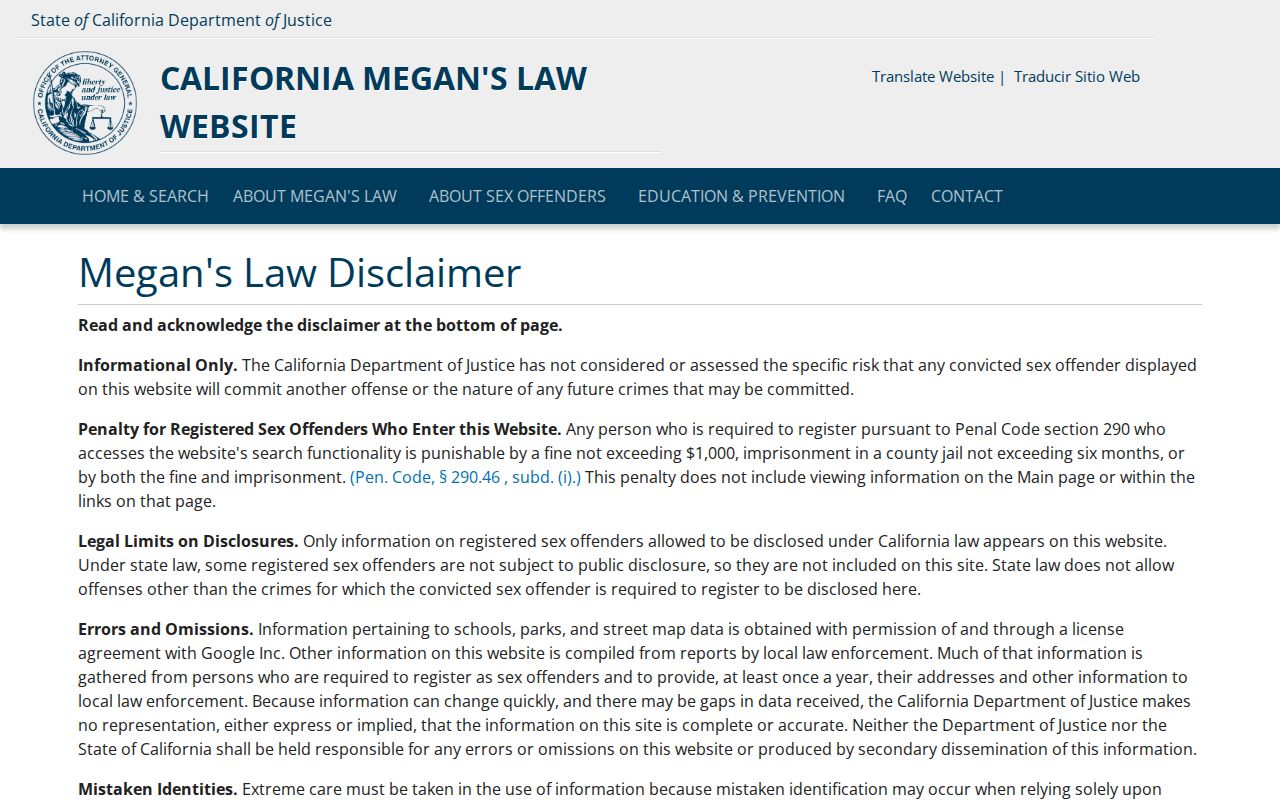
The image reflects a statewide map-and-name interface, so a Santa Ana ZIP code cannot be read as a complete local roll from it. Always follow the source’s own access and safety rules.
The state records guidance capture below is useful when a ZIP question belongs with a city custodian rather than a portal.
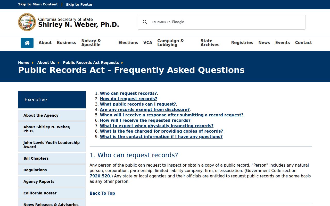
That public-records route works best when the request names a department, record type, date span, address or project number, and preferred format.
Privacy Choices Affect Santa Ana ZIP Trails
Some missing ZIP results are intentional. California’s Safe at Home program can provide eligible participants with a substitute mailing address, confidential mail forwarding, and confidential voter registration. State and local agencies generally accept the designated address with exceptions. A ZIP result that does not connect to a physical home may therefore reflect a safety measure, not a bad search.
The Safe at Home questions and answers explain why a substitute address should not be reverse-engineered or republished. The Secretary of State's governing-law page supplies the current statutory and regulatory reference. The program can protect the mailing trail, although a legal description in a real-property record may still reveal a property location.
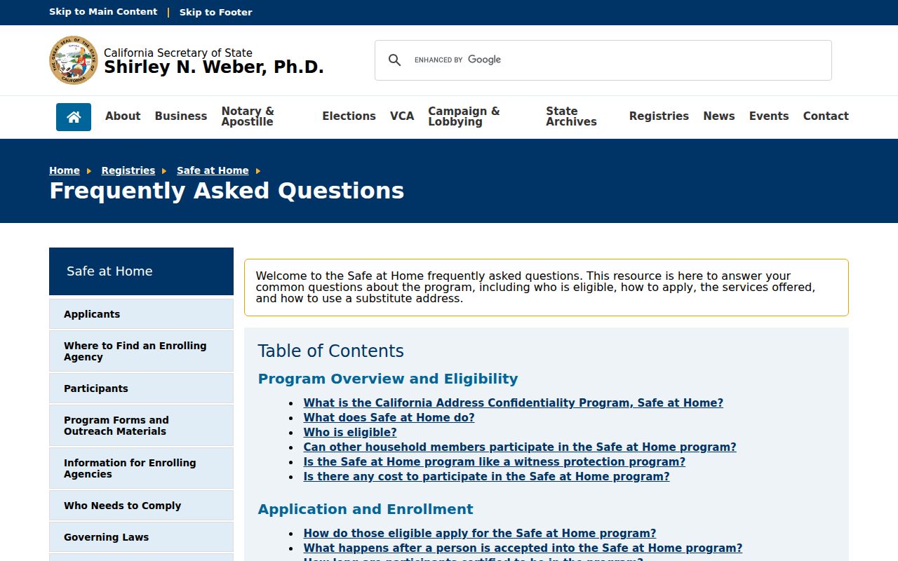
The privacy program changes what a ZIP search can responsibly claim, especially when the only field is a mailing address.
California’s DROP platform adds a separate consumer-data choice. It launched in 2026 as one free request to registered data brokers, with deletion duties beginning August 1, 2026. That process does not erase deeds, court indexes, assessor records, or city files held by their lawful custodians.
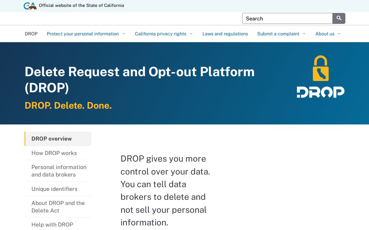
The DROP image belongs to the broker-deletion layer, not the government-record layer. Keeping those systems separate prevents a privacy request from being mistaken for a correction to a parcel or ZIP record.
A Santa Ana ZIP Result Needs a Second Check
Use a ZIP result as a starting clue. Confirm the address field, jurisdiction, and custodian before repeating a name beside a parcel. Ownership is not occupancy. A voter address covers the authenticated voter, not every person at the address. A PO-box number is not a neighborhood, and a civic contact is not a membership list.
Lawful personal use. ZIP and parcel research is appropriate for family history, reconnecting, civic records, and personal safety awareness. Do not use a Santa Ana ZIP code directory to stalk, harass, intimidate, or expose a protected person.
When a ZIP narrows the search to a street, keep the parcel and source date in your notes and move to the address record chain. The Santa Ana ZIP directory organizes geography; the custodian answers the record question.